AllAboutAntik
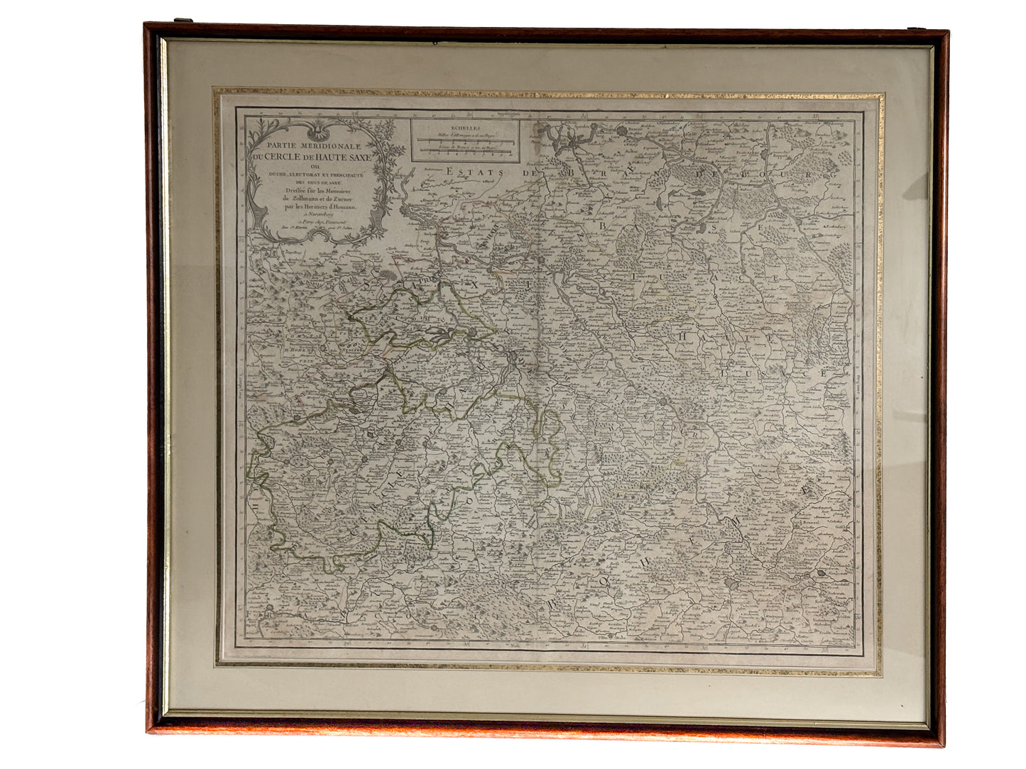
Historical map of the southern Upper Saxon Imperial Circle
Historical map of the southern Upper Saxon Imperial Circle
Low stock: 1 left
Deutschland: 2-4 Werktage
Ausland: 5-7 Werktage
Couldn't load pickup availability
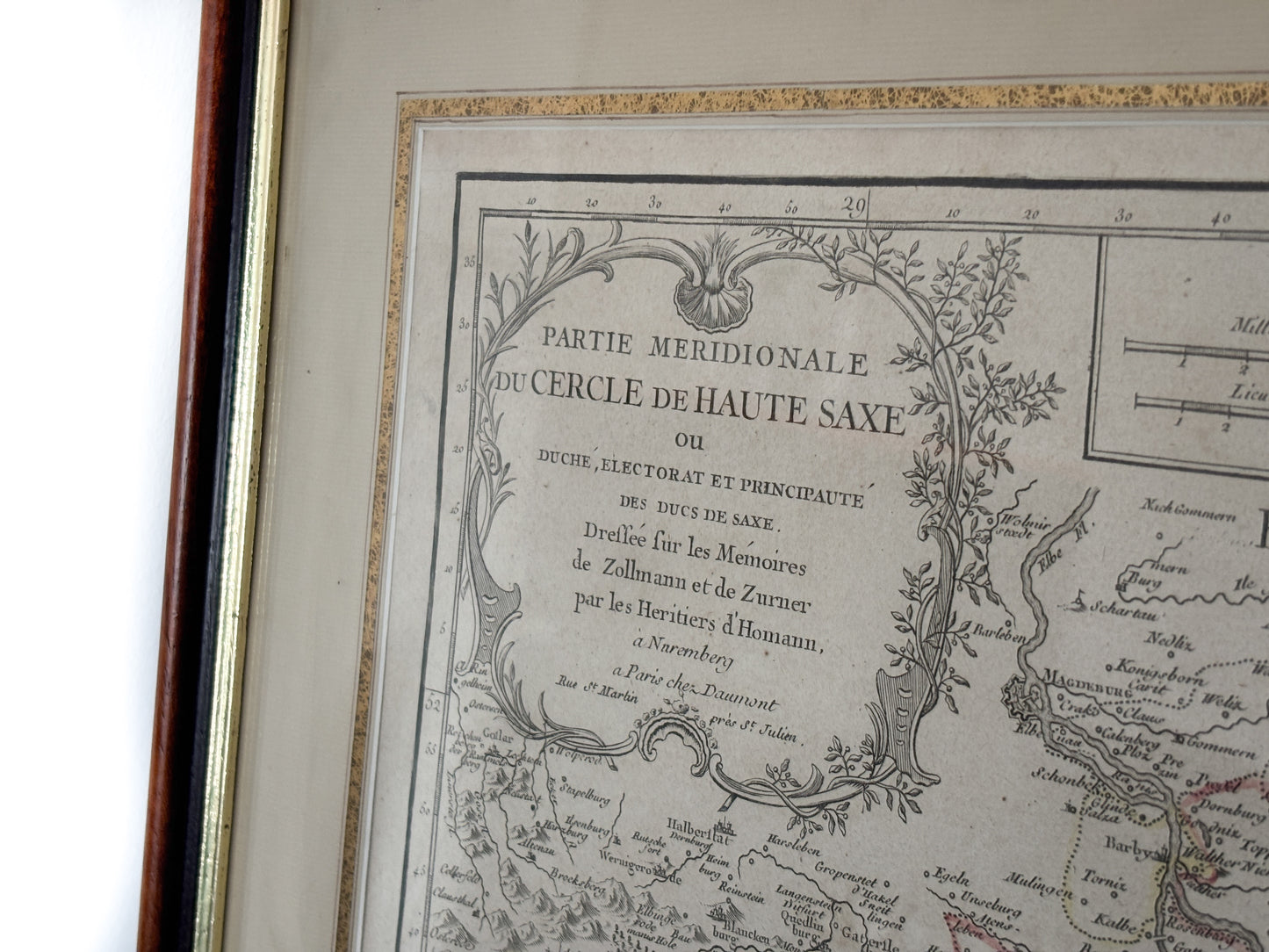
Historical map of the southern Upper Saxon Imperial Circle (Homann's heirs, 18th century)
Serial number: -
Condition: A/B
Dating: between ca. 1725 and 1780
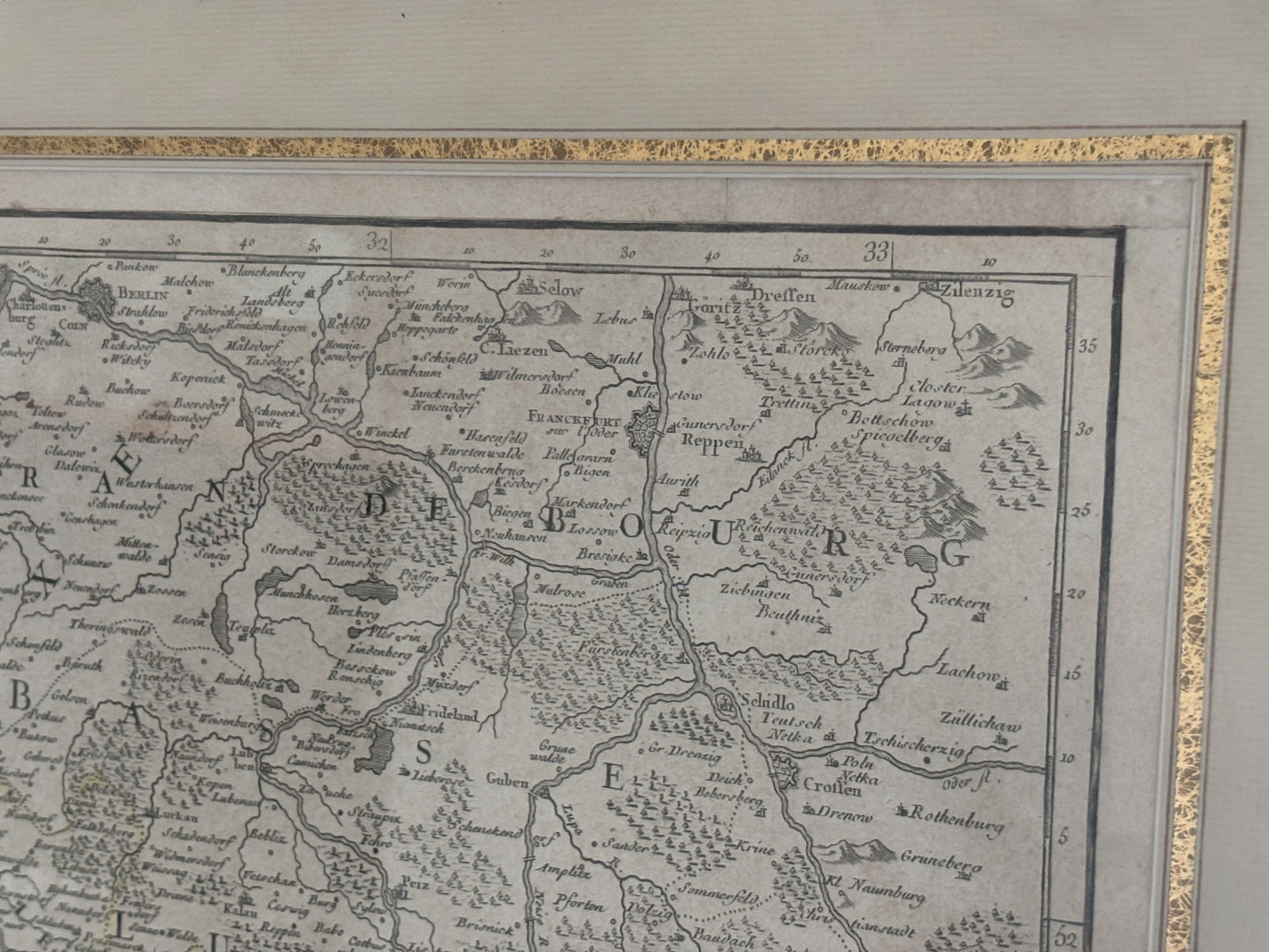
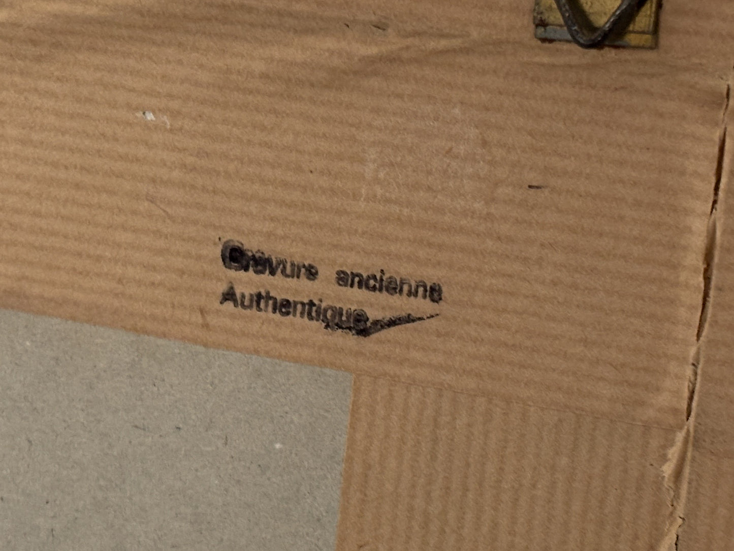
Description: The map shows the southern part of the Upper Saxon Imperial Circle in the Holy Roman Empire (including Saxony and Thuringia). It was published after 1724 by the "Homann Heirs" in Nuremberg, based on works by Zollmann and Zurner. Typical of the period is the copperplate engraving with hand-colored borders and dimensions in German miles and French lieutenants. The map was used both as a single sheet and in atlases. The map is in good condition and is enclosed in a wooden frame. Frame size: 70 cm x 70 cm. Due to the French title, it was intended for an international audience.
Share
Would you like to give us something in part exchange?
-
We buy Leica products & antiques – for a new li...
Do you have a Leica camera, old lenses, or special antiques that you no longer use? At AllAboutAntik , you not only give your pieces a new home—you also help...
We buy Leica products & antiques – for a new li...
Do you have a Leica camera, old lenses, or special antiques that you no longer use? At AllAboutAntik , you not only give your pieces a new home—you also help...


